GEOSPATIAL ENGINEER · PUBLIC SAFETY TECHNOLOGY · SOFTWARE DEVELOPER

Engineering resilient systems where geospatial data, public safety, and software intersect.

PMP and ENP-certified Geospatial Engineer with experience designing, supporting, and improving mission-critical 9-1-1 systems, GIS applications, and civil infrastructure solutions. I build software and geospatial tools that help organizations make better decisions through reliable data, automation, and resilient system design.

STATUS: ONLINE // OPEN TO OPPORTUNITIES

J. RODRIGUEZ, ENP, PMP
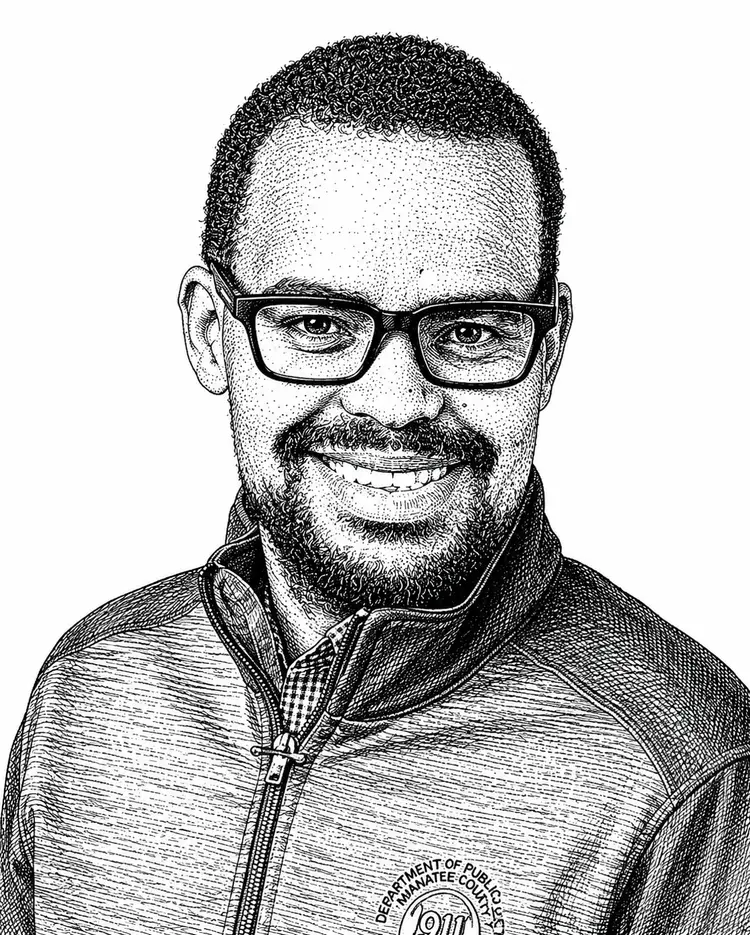
Illustrated portrait of Joel Rodriguez
SECTOR: PUBLIC SAFETY CREDENTIALS: ENP · PMP
LAT 27.4989° N LON 82.5748° W TIMEZONE: AMERICA/NEW_YORK ROLE: 9-1-1 COORDINATOR CERTIFIED: ENP · PMP
01 / TIMELINE

Career timeline

From photogrammetry and survey to civil infrastructure and 9-1-1 technology — one continuous thread of engineering.

2016 – 2018

Photogrammetry

I F ROOKS & ASSOCIATES · PLANT CITY, FL

Edited and organized remote sensing and photogrammetric data, performed volumetric calculations with Terramodel, and processed DOT legacy files — early groundwork in geospatial data quality.

2018 – 2021

Survey / GIS

FLORIDA ATLANTIC UNIVERSITY · ELEMENT ENGINEERING GROUP, TAMPA

Earned a B.S. in Geomatics Engineering (Magna Cum Laude) and an Advanced GIS Certificate from FAU, then applied LiDAR, GIS, and survey data processing professionally as a Survey/GIS Analyst — working with TopoDOT, MicroStation, QGIS, and PostGIS.

2021 – 2023

Civil Engineering

KIMLEY-HORN & ASSOCIATES · SARASOTA, FL

Supported civil infrastructure development as a Civil Engineering Analyst — GIS, CAD, and hydraulic modeling (AutoCAD Civil3D, SewerCAD, WaterCAD) for municipal development services.

2023 – Present

9-1-1 Technology

MANATEE COUNTY GOVERNMENT · BRADENTON, FL

Coordinating mission-critical telecommunications and GIS infrastructure for Manatee County's Emergency Communications Center — voice, data, wireless, and NG911 systems, on a 24-hour on-call basis.

02 / APPROACH

How I work

Every project starts with how people actually work, not the technology.

01

Observation

Every project begins by understanding how people actually work. Whether supporting emergency communications or engineering infrastructure, I focus on operational challenges before proposing technical solutions.

02

Experiment

I combine GIS, software development, telecommunications, and systems thinking to create practical solutions. Every solution is tested against real operational needs, not theoretical assumptions.

03

Outcome

Success is measured by reliability, usability, and measurable improvements for the people depending on the system — especially when the stakes are high.

03 / SELECTED WORK

Missions

High-level case studies across public safety, civil infrastructure, and software. Some government work is presented at a summary level by necessity.

MISSION_001 LIVE

Emergency Communications Infrastructure

Support and coordinate mission-critical telecommunications infrastructure for Manatee County's Emergency Communications Center, integrating voice, data, wireless, and GIS technologies while coordinating vendors and regional partners.

GIS TELECOMMUNICATIONS PROJECT MANAGEMENT NG911 PUBLIC SAFETY

MISSION_002 COMPLETED

Civil Infrastructure & GIS

Developed geospatial workflows and engineering support tools for civil infrastructure projects using GIS, CAD, and hydraulic modeling software.

ARCGIS AUTOCAD CIVIL3D WATERCAD SEWERCAD GEOPROCESSING
MISSION_003 COMPLETED

LiDAR & Survey Data Processing

Processed and analyzed LiDAR, photogrammetry, and survey datasets for engineering and mapping applications using industry-standard GIS and CAD tools.

LIDAR TOPODOT MICROSTATION QGIS POSTGIS
MISSION_004 ACTIVE

Personal Software Projects

Building modern web applications and GIS tools using React, Node.js, and PostgreSQL/PostGIS to bridge geospatial data with interactive user experiences.

REACT NODE.JS POSTGRESQL POSTGIS JAVASCRIPT
VIEW GITHUB
04 / CREDENTIALS

Certifications

Professional certifications earned alongside field experience — a combination that's uncommon among GIS professionals.

ENP

EARNED 2024

Emergency Number Professional

Internationally recognized credential demonstrating expertise in 9-1-1 operations, leadership, and public safety communications.

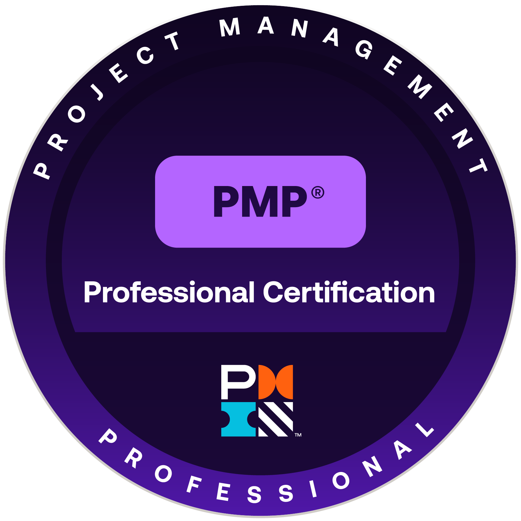
PMP

EARNED 2025

Project Management Professional

Globally recognized certification validating project leadership, planning, execution, and stakeholder management expertise.

EFD

EARNED 2026

Certified Emergency Fire Dispatcher

Certified in fire dispatch protocols, emergency call processing, and incident prioritization.

EPD

EARNED 2026

Certified Emergency Police Dispatcher

Certified in law enforcement dispatch protocols, call triage, and resource coordination.

EMD

EARNED 2026

Certified Emergency Medical Dispatcher

Certified in emergency medical call handling, pre-arrival instructions, and patient care protocols.

05 / EDUCATION

Education

A Geomatics Engineering degree and GIS certificate from Florida Atlantic University — the academic foundation behind the fieldwork.

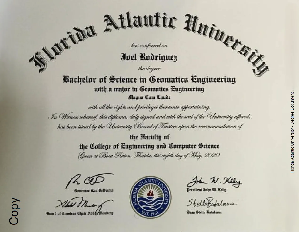
Florida Atlantic University Bachelor of Science in Geomatics Engineering diploma
CONFERRED MAY 2020

B.S. in Geomatics Engineering

FLORIDA ATLANTIC UNIVERSITY · BOCA RATON, FL

College of Engineering and Computer Science. Graduated Magna Cum Laude.

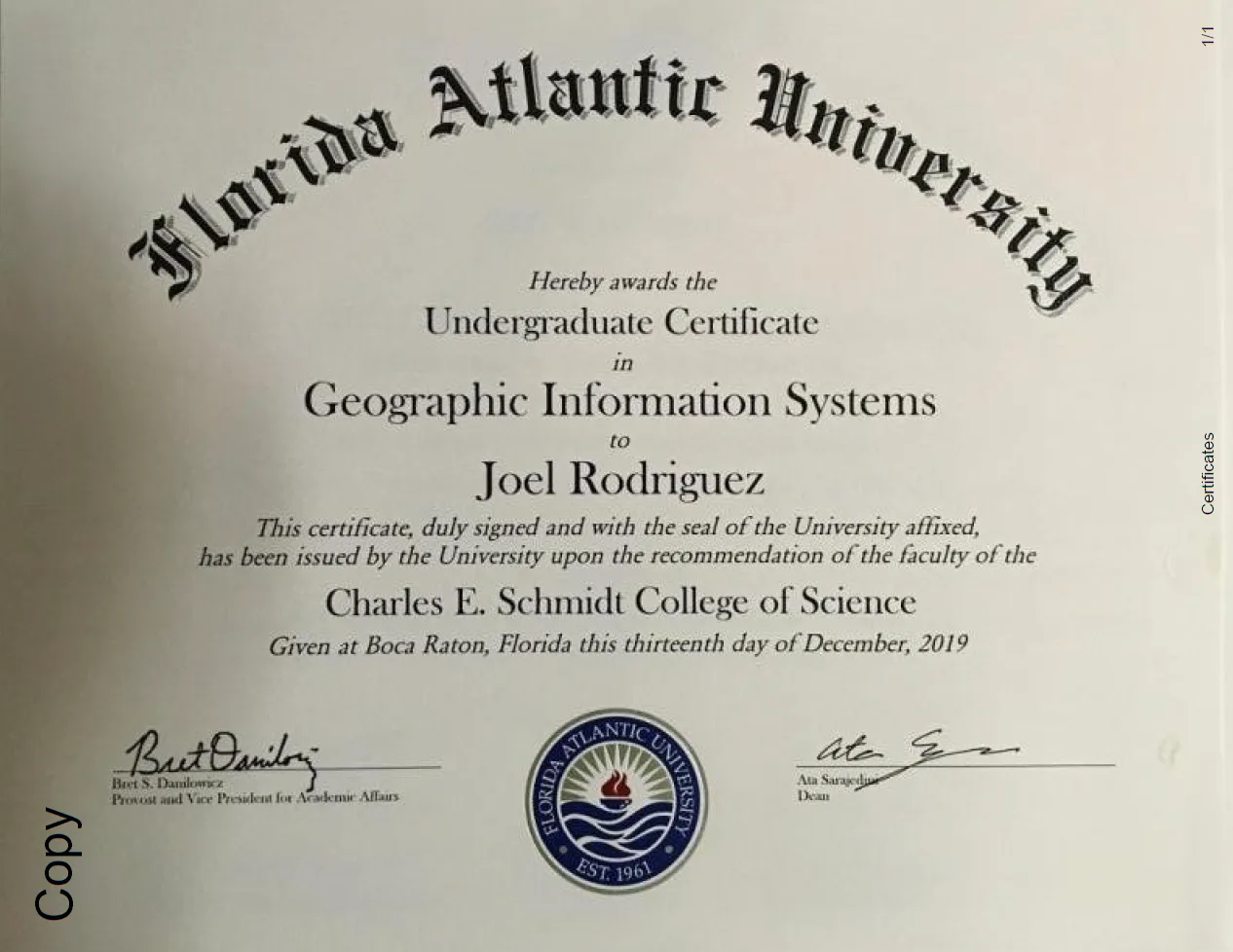
Florida Atlantic University Undergraduate Certificate in Geographic Information Systems
ISSUED DECEMBER 2019

Undergraduate Certificate in GIS

FLORIDA ATLANTIC UNIVERSITY · BOCA RATON, FL

Charles E. Schmidt College of Science.

07 / TOOLING

System stack

Organized by discipline, not just frontend and backend — the toolkit spans geospatial engineering, software development, and civil engineering.

GEOSPATIAL

  • ArcGIS
  • QGIS
  • PostGIS
  • pgRouting
  • GDAL
  • ERDAS Imagine
  • LiDAR
  • Remote Sensing

PROGRAMMING

  • Python
  • JavaScript
  • TypeScript
  • SQL
  • Node.js
  • React

DATABASES

  • PostgreSQL
  • PostGIS
  • MongoDB

INFRASTRUCTURE

  • Docker
  • GitHub
  • AWS

ENGINEERING

  • AutoCAD Civil3D
  • MicroStation
  • WaterCAD
  • SewerCAD
08 / CONTACT

Let's build something that holds up.

Open to roles and collaborations at the intersection of GIS, public safety technology, and software.